

Why in News?
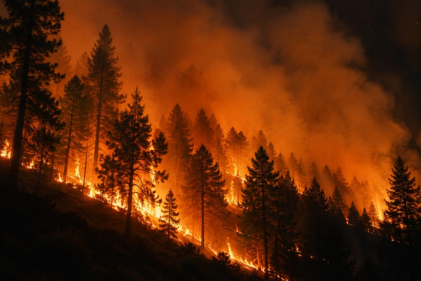
A Parliamentary Standing Committee on Science and Technology, Environment, Forest and Climate Change, in its report titled “Forest Fires in the Himalayan Region, Its Adverse Effects and Mitigation Measures”, has recommended the launch of a dedicated geostationary satellite for continuous monitoring of forest fires in the Himalayan region.
Need for a Dedicated Geostationary Satellite
- India currently relies largely on foreign polar-orbiting satellitessuch as AQUA and Suomi-NPP for forest fire monitoring.
- These satellites provide periodic observations but cannot continuously monitor a specific location.
- The Committee recommended prioritizing a dedicated geostationary satelliteto enable:
- 24×7 real-time monitoring.
- Faster detection of fire outbreaks.
- Improved disaster response and mitigation.
Himalayan Region: A Forest Fire Hotspot
- The Himalayan region constitutes only 17% of India’s geographical area.
- However, it accounts for nearly 57% of the country’s forest fire incidents.
- Uttarakhandrecorded the highest number of forest fire incidents between 2019–20 and 2023–24.
Regional Variations in Forest Fire Causes
Western Himalayas
Forest fires are primarily driven by:
- Extreme pre-monsoon temperatures.
- Accumulation of highly inflammable pine needles.
- Human-induced ignition due to proximity of settlements.
Eastern Himalayas
Forest fires are mainly linked to:
- Atmospheric dryness.
- Traditional Jhum (shifting cultivation)
- Burning associated with agricultural activities.
Concern Over Alert Accuracy
- The Committee highlighted serious concerns regarding the accuracy of forest fire alerts.
- In Uttarakhand:
- Only 5%of alerts issued by the Forest Survey of India (FSI) were verified as actual fires.
- Excessive false alarms can create alert fatigue, reducing the effectiveness of response teams.
Major Recommendations of the Committee
Legislative Measures
- Enact a dedicated National Forest Fire Management Act.
Policy Initiatives
- Formulate a National Pine-Needle Utilisation Policyto reduce forest fuel loads and generate economic value from pine biomass.
Disaster Response Infrastructure
- Establish at least two regional National Disaster Response Force (NDRF) centresin the Himalayan region.
Scientific Research
- Conduct empirical studies on the relationship between:
- Climate change,
- Rising temperatures,
- Increasing forest fire frequency and intensity.
Important Concepts
Geostationary Satellite
- Positioned approximately 35,786 km above the Equator.
- Revolves in the same direction and speed as Earth’s rotation.
- Appears stationary relative to a particular region on Earth.
- Enables continuous monitoring of a fixed area.
Polar-Orbiting Satellite
- Travels from pole to pole at lower altitudes.
- Provides high-resolution imagery.
- Revisits the same location only periodically.
- Unsuitable for uninterrupted monitoring.
Alert Fatigue
- A condition where responders become desensitized due to excessive false or low-priority alerts.
- Can result in delayed responses or ignored warnings.
Constitutional and Legal Framework
Article 48A (Directive Principles of State Policy)
- Directs the State to protect and improve the environment and safeguard forests and wildlife.
Article 51A(g) (Fundamental Duty)
- Obligates citizens to protect and improve the natural environment, including forests, rivers, lakes, and wildlife.
Disaster Management Act, 2005
- Provides the framework for disaster preparedness, mitigation, and response.
- Governs the functioning of agencies such as the NDRF.
Indian Forest Act, 1927
- Provides legal provisions relating to forest administration and protection.
Forest (Conservation) Act, 1980
- Regulates diversion of forest land for non-forest purposes and strengthens forest conservation measures.
The Parliamentary Committee has emphasized that effective forest fire management in the Himalayas requires a combination of continuous satellite-based surveillance, scientific research, stronger legal frameworks, improved disaster response infrastructure, and community-based fuel management strategies. A dedicated geostationary satellite could significantly strengthen India’s capacity for early detection, monitoring, and mitigation of forest fires in this ecologically sensitive region.